CONUS • LATEST •
Composite reflectivity
You are in SparkGen

WXJ58
144.550 mHz | 2 listeners
Severe Thunderstorm Warning
Select tool:
Model
Run
Hour
Product

STEP Calculator
Enter the values below to calculate the significant tornado event probability value.
Loading
--°


Loading...
Current Location
Show your current location on the radar map. Your location info does not leave your device.
Settings Database
Download your settings as a backup, or upload an existing backup.
Restore Settings
Reset all settings to their defaults, including custom alert colors.
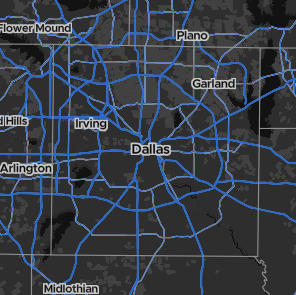
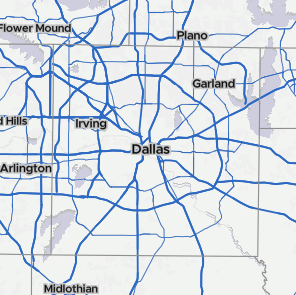
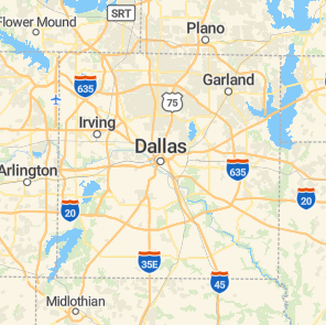
Map Style

Dark (Default)

Light

Streets
Map Gestures
Right-click / tap-and-hold to select nearest radar
Alert Colors
Make the radar yours by defining your own alert polygon colors. If there is more than one color option, the alert will flash between the two colors.
Extreme Wind Warning
Tornado Emergency
PDS Tornado Warning
Tornado Warning
Destructive Tstorm Warning
Severe Tstorm Warning
Special Weather Statement
Flash Flood Emergency
Flash Flood Warning
Special Marine Warning
Flood Warning
Flood Advisory
Other Colors
As you can change alert colors, you can also change the colors of SPC watches and mesoscale discussions.
Tornado Watch
Severe Tstorm Watch
Mesoscale Discussions
Lightning
Choose at what zoom lightning strikes appear on the map. Lightning strikes are accumulated over the last 60 minutes.
Note: At the moment, the lightning data source has stopped running. Spark Radar is in the process of partering with a new data source.
Advanced Settings
Radar Tile Size
About Spark Radar
What. Spark Radar is an entirely free online radar application.
Why. Because everyone experiences weather. Knowing what's coming shouldn't cost a dime.
When. Spark Radar was a project I started in 2024.
Where. The internet.
Weather. Yeah, it does that.
Thanks. No problem.
Credits
Radar Images: NOAA's OPENGEO Server
Radar Info and Stations: NWS API
Alerts: NWS API
Watches: The IEM WW Archive
SPC Outlooks: NWS SPC GeoJSON
Search Results: Geocode
Weather Radios: GWES WeatherRadio
Honorable Mentions
Wxtership (Creator of XWD radar)
SteepAtticStairs (Creator of AtticRadar)
Dan Paulat (Creator of SupercellWX)
Version:v2.0 BETA (v1.2)
Date: Apr 28, 2025
App functions
D
Open the drawing menu
R
Refresh
Radar (CONUS / WSR-88D)
1
1st product (composite reflectivity / base reflectivity)
2
2nd product (base reflectivity / velocity)
3
3rd product (echo tops / hydrometer classification)
4
4th product (precip type / rainfall accumulation (1hr))
5
5th product (not used / rainfall accumulation (storm total))
Map movements
+
Zoom in
-
Zoom out
←
Pan left
↑
Pan up
→
Pan right
↓
Pan down
Loading
--°
Polygon Tool
To create a polygon, click on the map to place a vertex. Click and drag any existing vertex to adjust it, or just click to delete it. When there are three or more vertices on the map, a polygon will appear. When you are finished, click the polygon tool button again.
Draw Tool
To create a drawn polygon, click and drag on the map to "draw" vertices. When there are three or more vertices on the map, a polygon will appear. When you are finished, click the draw tool button again.
Style Settings
Fill Color:
Stroke Color:
Stroke Width:
Opacity:
Welcome to SparkGen!
SparkGen is a powerful tool to issue weather alerts on your own. It's completely free, and performs many of the same jobs as AWIPS WarnGen.
Click next to run through the tutorial, or skip if you want to explore on your own.
(1/4) Creating watches
Watches are extremely easy to create. Simply click a county and it will be included.

Click a county again and it will be excluded.
(2/4) Creating warnings
To create a warning, click the polygon button on the toolbar. Click to place a vertex. After three vertices are on the map, a polygon will appear.

You can click any vertex to delete it, or drag a vertex to move it.
When you are finished, click the polygon button again to lock it.
(3/4) Naming alerts and advanced features
Click the edit button to change alert text.

Leave any box blank to hide the text.
Tip: Click the trash can in the toolbar to clear any drawn polygons and reset all counties.
(4/4) Issuing alerts
Click the green camera button to enter photo mode. You can then screenshot your alert map.
Remember, according to OpenStreetMap and MapTiler, all material using their maps should include attribution. Ensure you include the credit in the bottom-left of the radar. I am not responsible if you do not include it in your graphics.
Title text
Subtitle line 1
Subtitle line 2
Discussion text
Loading radar...
©OpenStreetMap and ©MapTiler
Loading...
Weather Alert Title
Subtitle 1
Subtitle 2
Severe Weather
Warnings
Watches
Mesoscale Discussions
SPC Outlook
Storm Centers
TVS Signatures
Hail Signatures
Mesocyclone Signatures
Weather Conditions
Weather Radios
METARs
Spotter Network Positions
Spotter Network Reports
NWS Tornado Reports
NWS Hail Reports
NWS Wind Reports
Tropical
Hurricanes
Seismic
Recent Major Earthquakes (M >= 7)
Recent Earthquakes (M < 7)
Other
Radar Station Markers
Wildfires
0
/0
- Photo mode
- Draw polygon
- Change styles
- Clear map
- Exit SparkGen
- Refresh
- Fly to my location
- Draw
- Toggle alerts
- Toggle radars